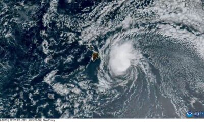
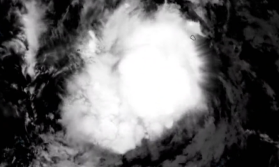
Satellite imagery shows the strongest tropical cyclone of the year approaching Japans southern islands over a period of 24 hours.
The video, shared by the Cooperative Institute for Research in the Atmosphere (CIRA) at Colorado State University, shows Super Typhoon Hinnamnor tracking toward the islands then turning slightly southwest.
The storm developed on Aug. 28 in the Western Pacific Ocean and quickly gathered strength.
Hinnamnor became a super typhoon on Tuesday Eastern time, with winds estimated by the U.S. Joint Typhoon Warning Center to be about 160 mph. The agency downgraded Hinnamnor on Wednesday Eastern time, estimating sustained winds at about 144 mph with gusts up to 173 mph.