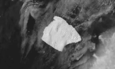
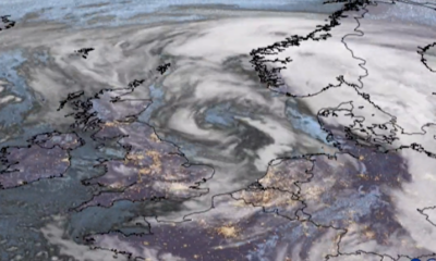
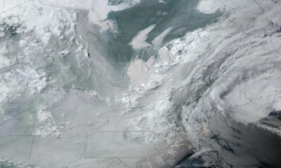
Satellite imagery shows Tropical Storm Karl churning in the Bay of Campeche, in the southern Gulf of Mexico on Wednesday.
A video shared by the Cooperative Institute for Research in the Atmosphere at Colorado State University shows the cyclones swirling cloud cover just off the coast of Mexico on Wednesday.
As of 7 a.m. CT Thursday, Karl had maximum sustained winds near 50 mph with higher gusts, according to the U.S. National Hurricane Center.
The agency said Karl is expected to produce 3–7 inches of rain with up to 12 inches locally in Mexicos Veracruz and Tabasco states from Friday into Saturday. Chiapas and Oaxaca states could see 2–4 inches of rain with local maximums up to 6 inches.
Swells produced by Karl will affect the Mexican coastline for the next few days, the agency said, with life-threatening surf and rip current conditions likely.